
LOCAL GROUND NOTES
Start with the place.
Round Rock's land-development resources include site-permit packets, tree guidance and easement documents. A small lot and a development tract may need different planning, so show the proposed work area, underground utility easements and retained-tree areas before clearing.
What matters around Round Rock
Central Texas crosses prairie, woodland and plateau transitions. A useful estimate starts with the parcel location and the intended finish, rather than assuming that every Austin-area or Brazos Valley acre needs the same treatment.
- Confirm the parcel jurisdiction before applying a nearby city's requirements.
- Keep selective brush work distinct from grading, pads and root removal.
- Locate drainage paths and retained trees on the work sketch before mobilization.
Make the entrance part of the plan.
For a job near Round Rock, include the route from the road to the actual work area. Gate width, turns, crossings and soft areas can affect machine access and transport. The nearest town helps locate the job; it does not determine every condition on your land.
Send the area to treat, what needs to stay and the intended use. For a fence line or trail, include length and width. For construction, attach the current work limits and specifications.
Agree on what is left behind.
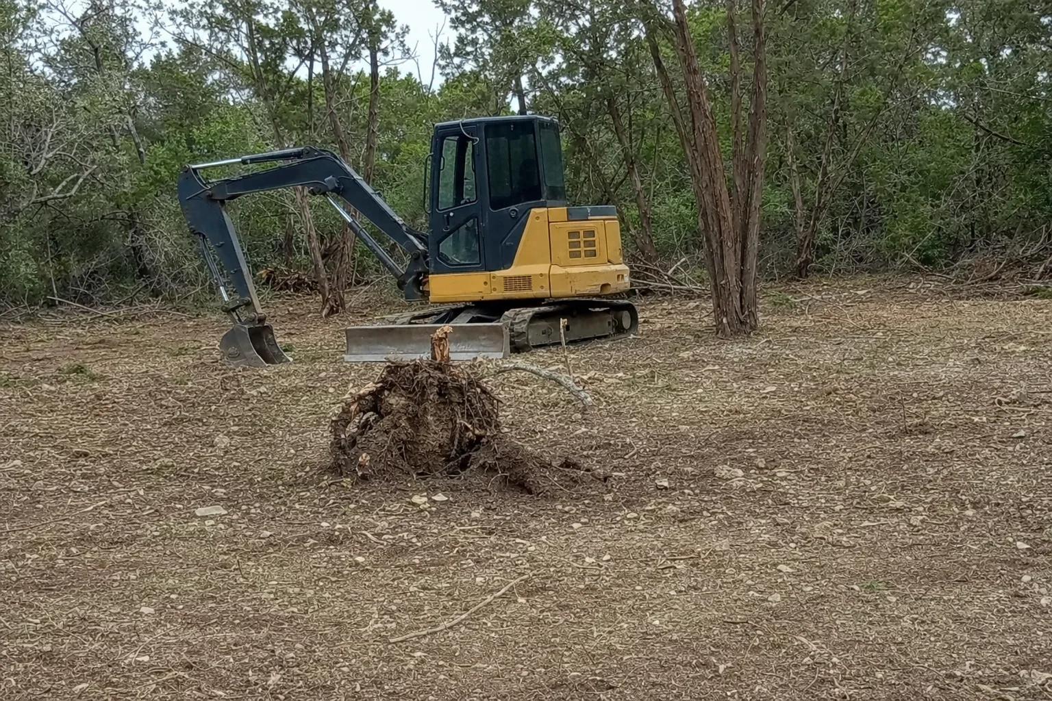
A mulched understory, a grubbed footprint and a graded site are different finishes. Your scope should identify roots, remaining woody material, haul-off, backfill and stabilization. See how the estimate is put together.
Questions near Round Rock
What local information helps plan a Round Rock site opening?
Use the land-development permit resources to check the relevant site packet and tree guidance. Pair that with a current survey showing utilities and easements.
Local reference sources, reviewed for this planning guide:
Williamson County is a location reference; some cities cross county lines. Confirm the authority for the actual parcel and proposed activity. This is a service-area page, not a claim of a local office.